Fieldwork

From mapping the structural geology outcropping in arid parts of Brazil, installing seismometers in the Australian Outback, to deploying OBS’s on remote parts of the Southern Ocean! That is what is like to be an Earth scientist 😀 I love being a geophysicist & wish the younger generation from all over the world feel inspired to join Earth sciences too!

Cheers from the land Down Under!

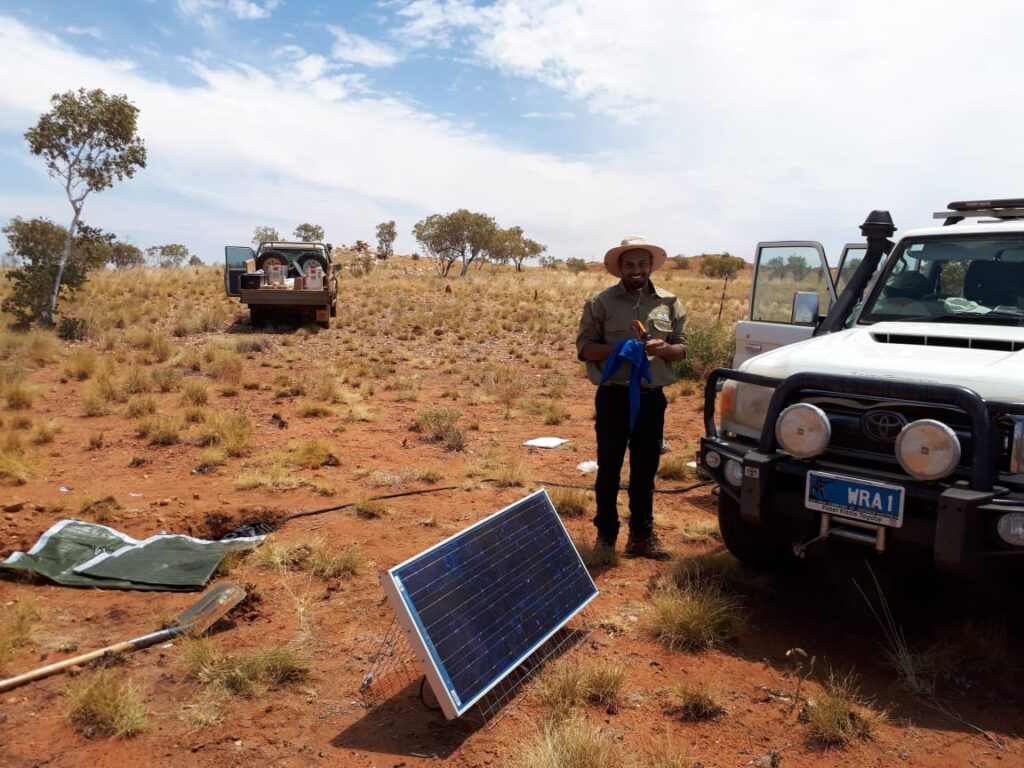
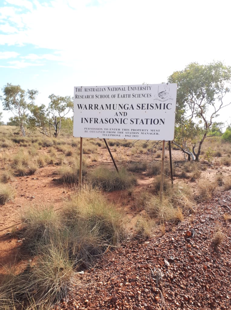
My first time installing seismometers was in the Northern Territory (AUS), in 2018. Crossing creeks on an ATV jeep as well as carrying the equipment throughout the bush was heaps of fun! We aimed to install 16 stations in a spiral array configuration for diverse purposes. You can find a bit more about this project here.

>> Installing seismometers in the Outback >>
Installing seismic stations in Tennant Creek
Myself getting dusted while installing seismic stations in Tennant Creek. Credits: Rajesh Erigela
Seismologist = Digging
Part of being a seismologist includes digging holes on the ground! In this photo you see myself helping to install 72 nodes around Stromlo Forest Park to record a few explosions on site. Certainly, some kangaroo activity will also be detected! Hope those little fellas will behave well until we are back there in a couple of weeks to recover the equipment! Credit: Prof. Hrvoje Tkalčić
This is how the Outback looks like after some rainfall!
Mr Rajesh Erigela
Mr Rajesh Erigela, who is WRA staff based in Tennant Creek.

The Warramunga Seismic and Infrasound Research Station near Tennant Creek (Northern Territory).

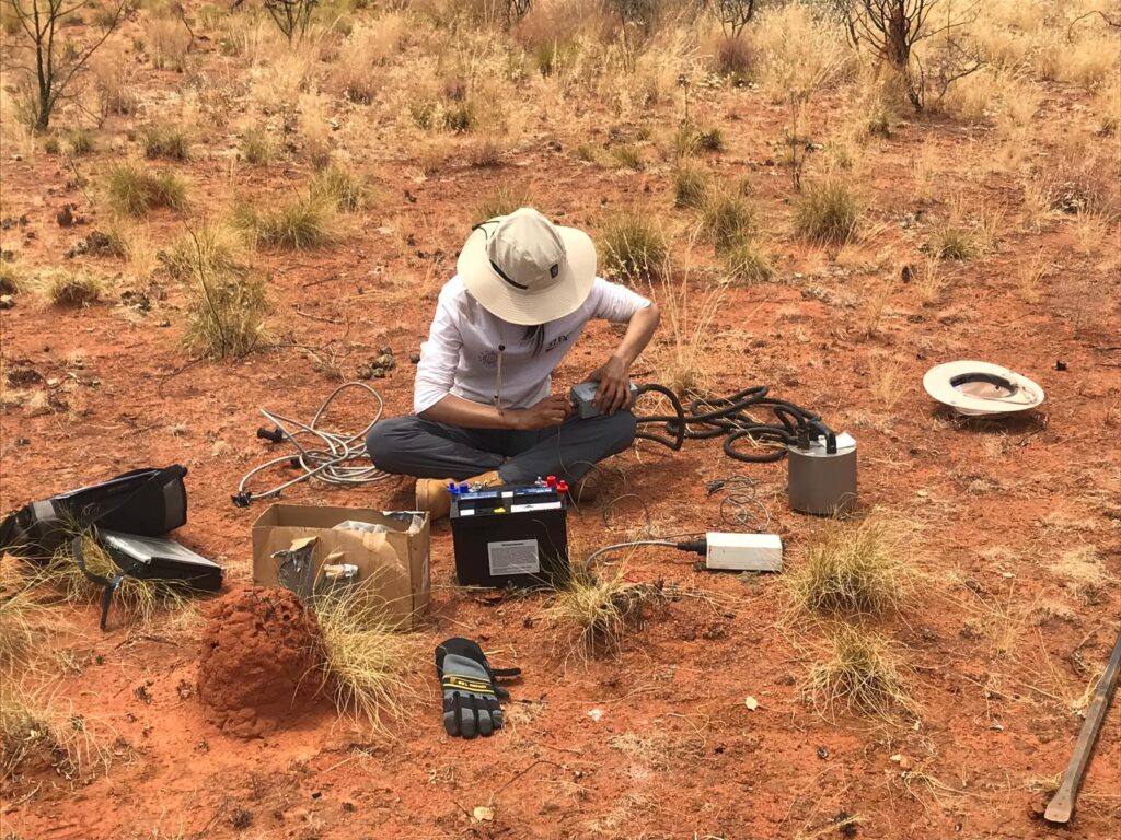
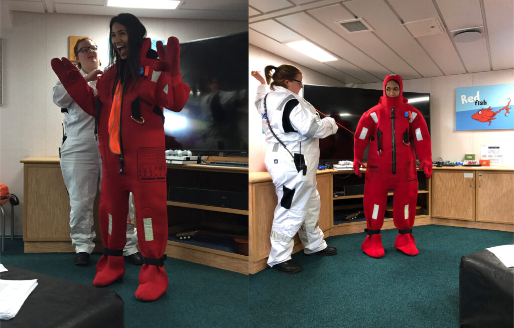
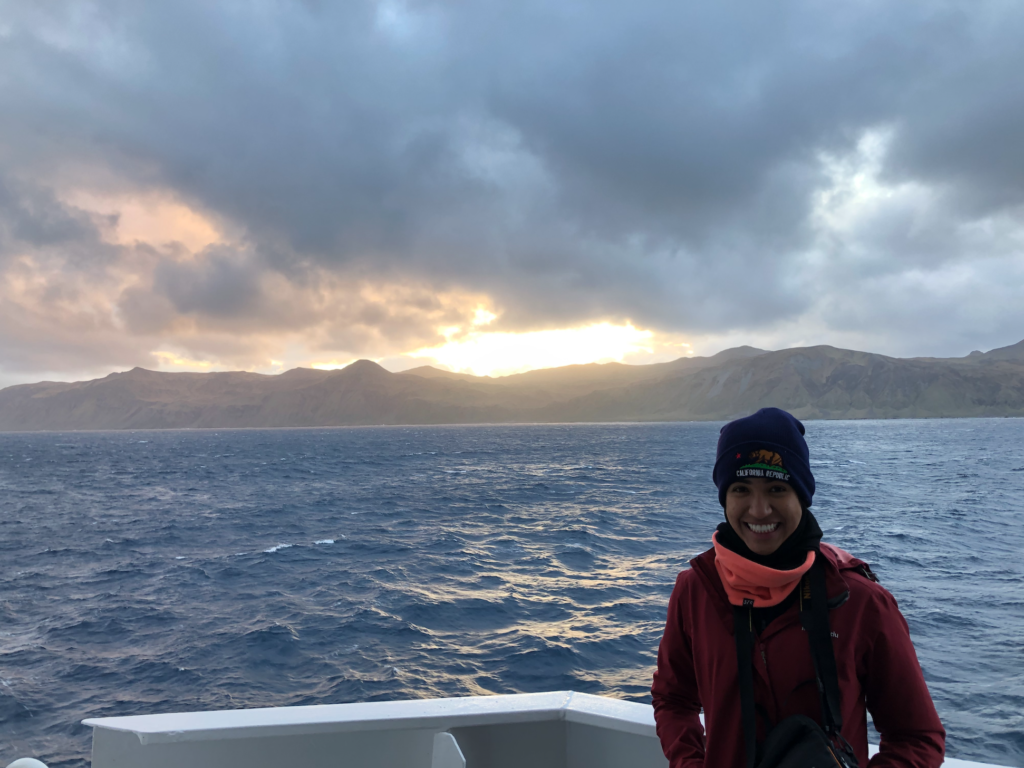
Installing OBS (Ocean Bottom Seismometers) on the Macquarie Ridge Complex

Demonstrating the immersion suit onboard the RV Investigator!  I’ve never felt so cool. By my side is Astrid Wilson, the master 2 of this voyage. Photo credits: (to the left) Mike Coffin and (to the right) Caroline Eakin.
Sunset in the remote Macquarie Island. That piece of land on Earth is the surface manifestation of a very dynamic tectonic setting on the subsurface. Read my blogs to understand why we went there as well as to see some photos of the wild-life we could spot from the ship!

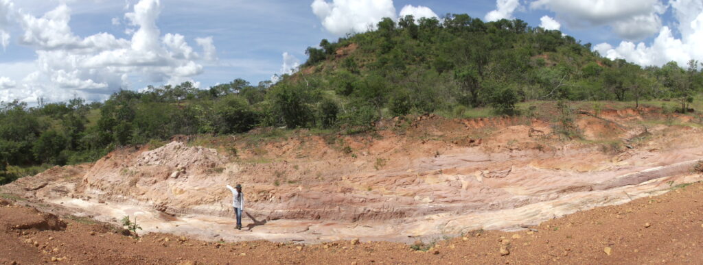
Mapping brittle and ductile geological features outcropping in the northern region of Brazil.

To understand the dynamics of the stress field onsite, we look for geological features expressed on the rocks at the Earth’s surface. These features are usually the result of the deformational events that occurred in the past. Depending on the conditions of temperature, pressure, and rock type, such events lead to the formation of brittle or ductile geological structures. In this photo, my arm is indicating the geographic North. Behind me, you can see a fold, which is a syncline structure (and resembles the smile you have on your face :D) that indicates a compressional environment in a ductile regime. Can you think of possible examples in nature that could lead rocks to fold?